kiwipaul
Community member
- Joined
- May 21, 2013
- Messages
- 195
Not sure if this news reached far outside the Pacific
This damage reported in NZ so far suggests very difficult long term consequences for the Vava'u island people, with their power generation and communications knocked out and potential salt water contamination of drinking wells and farming land. NZ and international agencies are scrambling to mobilise aid, and our thoughts should be with the Tongan Community and those offering aid on the front line.
I'm unsure if the Vava'u islands are involved in Pacific Pearl cultivation, if they are I suspect there will be significant damage to infrastructure.
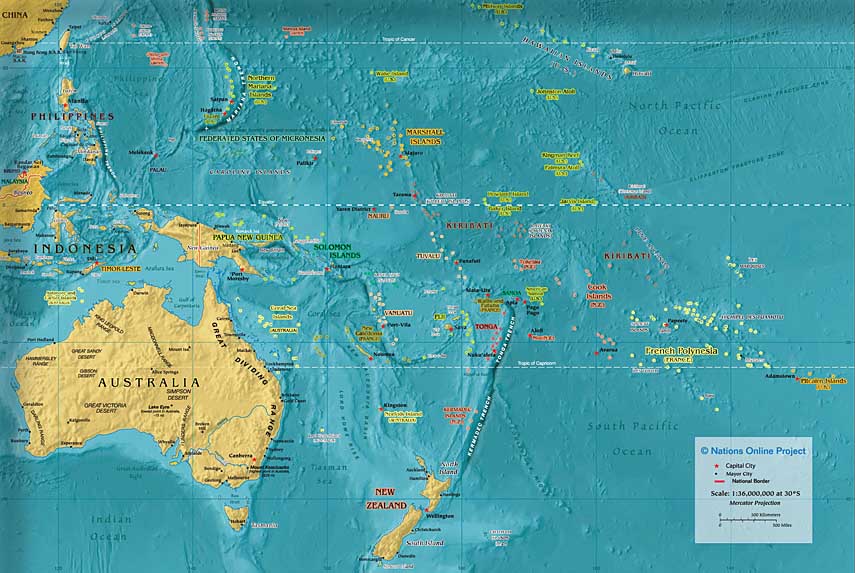
I looked on the map to see where Tongareva/Penrhyn is relative to the path of the hurricane, it appears to be 100's of miles away to the north east, and hopefully has been spared.
One person has been killed and extensive damage inflicted after Cyclone Ian ravaged Tonga yesterday.
The category-five hurricane tore across the Vava'u islands in the north, and the central Ha'apai islands in the south, before brushing the capital Nuku'alofa last night (11th Jan 14).
This damage reported in NZ so far suggests very difficult long term consequences for the Vava'u island people, with their power generation and communications knocked out and potential salt water contamination of drinking wells and farming land. NZ and international agencies are scrambling to mobilise aid, and our thoughts should be with the Tongan Community and those offering aid on the front line.
I'm unsure if the Vava'u islands are involved in Pacific Pearl cultivation, if they are I suspect there will be significant damage to infrastructure.
I looked on the map to see where Tongareva/Penrhyn is relative to the path of the hurricane, it appears to be 100's of miles away to the north east, and hopefully has been spared.
Last edited: